Geographic intelligence for decisions that matter
We build GIS applications, analyze spatial data, and turn your organization's geographic information into competitive advantage.
Book a call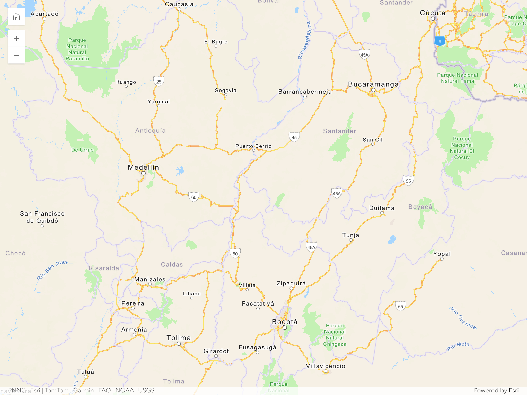
- 14+ Years of GIS experience
- 100+ Projects delivered
- 8+ Industry sectors
- 3 Countries
End-to-end GIS solutions
From geodatabase design to production application. One team, the entire geospatial chain.
- 01
GIS Application Development
Interactive maps, dashboards, and geospatial components integrated into your software
Learn more - 02
GIS Consulting & Implementation
Architecture, configuration, and deployment of ArcGIS platforms
Learn more - 03
Spatial Analysis & Data
Networks, coverage, remote sensing, and modeling for territory-based decisions
Learn more - 04
Cartography & Visualization
Professional cartographic production, orthomosaics, and thematic maps that communicate
Learn more - 05
Risk Management & Emergencies
Scenario simulation, emergency cartography, and GIS-powered contingency plans
Learn more
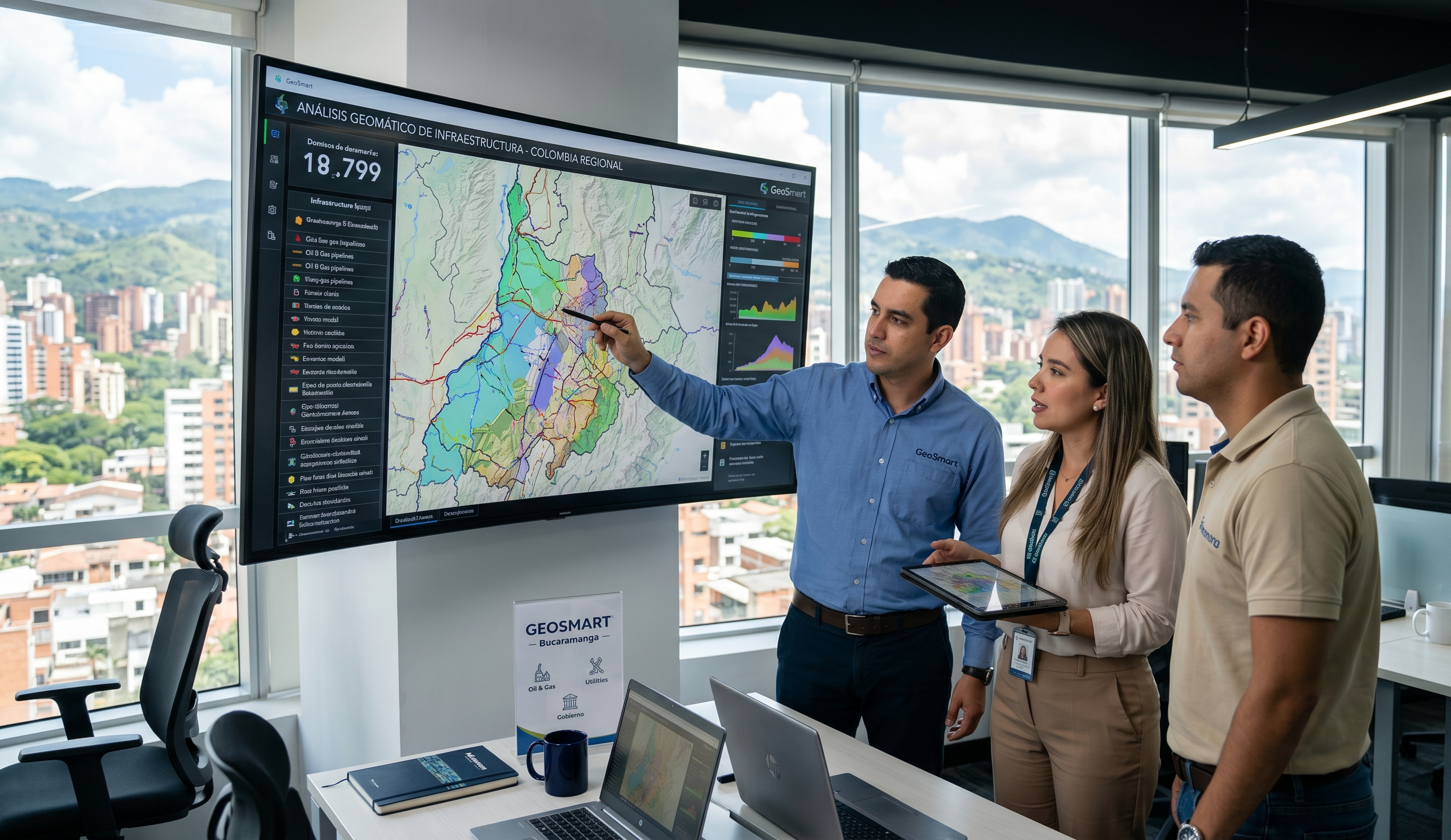
GIS software ready to deploy
Solutions born from real problems in Colombian industry. Configurable, scalable, and backed by our team.
- Environmental Management
Terravix
Environmental liabilities management platform
Corporate platform integrating ArcGIS applications to manage environmental liabilities in Colombia, complying with Law 2327 of 2023. Full traceability, monitoring, and auditing for authorities and contractors.
Features
- Risk maps
- Compliance traffic light
- Real-time dashboard
- Geofences
- PDF/CSV reports
Technologies
ArcGIS Online Dashboards Survey123 Field Maps Experience Builder
Transforming data into territory for decision-making
We've worked with oil & gas companies, utilities, government agencies, and consultancies in Colombia, Peru, and the region — solving problems where location is the critical variable.
- 100% specialized GIS and spatial data team
- Experience in oil & gas, utilities, and government sectors
- Projects executed in Colombia, Peru, and the region
Projects that speak for themselves
Each project is a territorial problem solved with data, technology, and judgment.
- Oil & Gas
GIS-based asset integrity management for Ecopetrol
Challenge
Ecopetrol's Central Regional Vice Presidency needed a system to manage static asset integrity with a geographic component, integrating inspection, maintenance, and location data into a single platform.
Solution
Technical direction of the development and implementation of a GIS-based Static Asset Integrity Management System, with RBI (Risk Based Inspection) analysis and consequence simulation result diagramming.
Result
Centralized data for 500+ assets with real-time geospatial visualization
ArcGIS Enterprise Python Geodatabase SQL Server - Utilities / Government
GIS database for water meter replacement — Metropolitan Aqueduct
Challenge
Bucaramanga's Metropolitan Aqueduct needed a geographic system to plan and manage mass water meter replacement, lacking spatial visibility of their infrastructure status and location.
Solution
Analysis, design, and implementation of a GIS database for meter replacement, integrating cadastral, network, and operational status data with a geospatial component.
Result
Optimized replacement routes and reduced operational planning times
ArcGIS Desktop Geodatabase ArcGIS Server - Oil & Gas / Emergencies
Oil spill emergency coordination for the Nor Peruano Pipeline
Challenge
Oil spill emergency response for the Nor Peruano Pipeline relied on manual communications without geographic integration, delaying critical response times.
Solution
Development of a web application for coordinating hydrocarbon spill emergency response tasks, with wear phenomenon analysis, response time calculations, and real-time geospatial visualization.
Result
Reduced emergency coordination times and full operations traceability
ArcGIS Online Python JavaScript Leaflet - Government
Geospatial web application for Cartagena's Housing Observatory
Challenge
The District of Cartagena needed a tool to visualize and analyze the housing sector diagnosis territorially, with data scattered across multiple sources without a geographic component.
Solution
Development of a geospatial web application for the Housing Sector Diagnostic Study, integrating socioeconomic, urban planning, and housing data with interactive geographic layers for the city's Housing Observatory.
Result
Unified territorial visualization for housing policy decision-making
ArcGIS Online JavaScript ArcGIS API for JS
Have a geospatial project?
Tell us your challenge. At GeoSmart we turn coordinate data into impactful decisions.